
Dasharathchanda topographic map
Interactive map
Click on the map to display elevation.
About this map
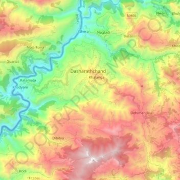
Name: Dasharathchanda topographic map, elevation, terrain.
Location: Dasharathchanda, Baitadi, Sudurpashchim Province, Nepal (29.46762 80.34120 29.62015 80.50988)
Average elevation: 1,380 m
Minimum elevation: 474 m
Maximum elevation: 2,509 m