
Jarhi topographic map
Interactive map
Click on the map to display elevation.
About this map
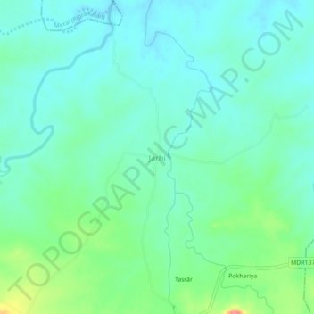
Name: Jarhi topographic map, elevation, terrain.
Location: Jarhi, Dandai, Garhwa District, Jharkhand, India (24.07820 83.64094 24.11820 83.68094)
Average elevation: 262 m
Minimum elevation: 242 m
Maximum elevation: 323 m