
Lodosa topographic map
Interactive map
Click on the map to display elevation.
About this map
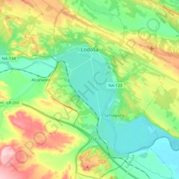
Name: Lodosa topographic map, elevation, terrain.
Location: Lodosa, Navarre, 31580, Espagne (42.34281 -2.11562 42.45490 -2.02568)
Average elevation: 379 m
Minimum elevation: 298 m
Maximum elevation: 538 m