
Tassin topographic map
Interactive map
Click on the map to display elevation.
About this map
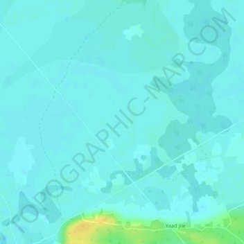
Name: Tassin topographic map, elevation, terrain.
Location: Tassin, Baraawe مدينة ﺑَﺮَﺍﻭَة, Shabeellaha Hoose, Somalie (1.13210 43.90970 1.17210 43.94970)
Average elevation: 48 m
Minimum elevation: 44 m
Maximum elevation: 68 m