
West Point topographic map
Interactive map
Click on the map to display elevation.
About this map
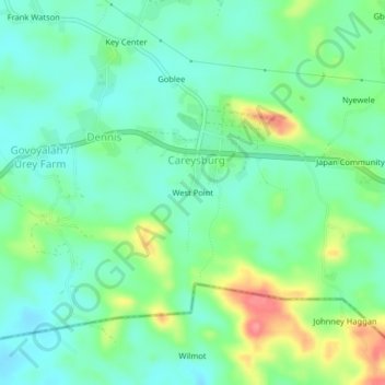
Name: West Point topographic map, elevation, terrain.
Location: West Point, Careysburg, Montserrado County, Liberia (6.37730 -10.57187 6.41730 -10.53187)
Average elevation: 45 m
Minimum elevation: 20 m
Maximum elevation: 102 m