
Berthold topographic map
Interactive map
Click on the map to display elevation.
About this map
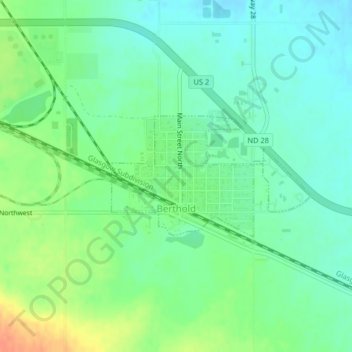
Name: Berthold topographic map, elevation, terrain.
Location: Berthold, Ward County, North Dakota, United States (48.31087 -101.74460 48.32016 -101.72147)
Average elevation: 634 m
Minimum elevation: 619 m
Maximum elevation: 660 m
Other topographic maps
Click on a map to view its topography, its elevation and its terrain.
Minot
United States > North Dakota > Ward County
The elevation of the river at the city center is 1,540 feet (470 m) above sea level. The valley sits 160 feet (49 m) below the surrounding plains; the elevation at the Minot International Airport on North Hill is 1,716 feet (523 m). The city has several small horseshoe-shaped oxbow lakes within its limits near…
Average elevation: 510 m