
Ridgely topographic map
Interactive map
Click on the map to display elevation.
About this map
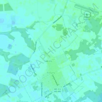
Name: Ridgely topographic map, elevation, terrain.
Location: Ridgely, Caroline County, Maryland, 21660, United States (38.93764 -75.90124 38.97369 -75.85989)
Average elevation: 18 m
Minimum elevation: 15 m
Maximum elevation: 21 m
Other topographic maps
Click on a map to view its topography, its elevation and its terrain.