
K.G topographic map
Interactive map
Click on the map to display elevation.
About this map
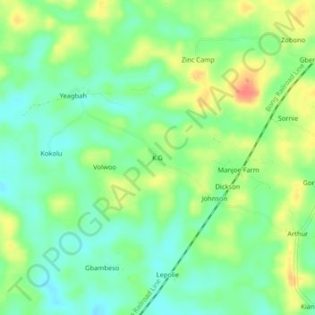
Name: K.G topographic map, elevation, terrain.
Location: K.G, Todee, Montserrado County, Liberia (6.63190 -10.49961 6.67190 -10.45961)
Average elevation: 92 m
Minimum elevation: 72 m
Maximum elevation: 122 m