
Marcilla topographic map
Interactive map
Click on the map to display elevation.
About this map
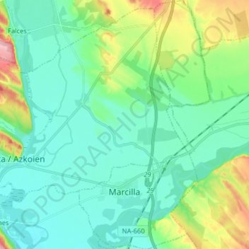
Name: Marcilla topographic map, elevation, terrain.
Location: Marcilla, Navarre, 31340, Espagne (42.30393 -1.76172 42.39949 -1.69350)
Average elevation: 316 m
Minimum elevation: 277 m
Maximum elevation: 441 m