
Ungheni topographic map
Interactive map
Click on the map to display elevation.
About this map
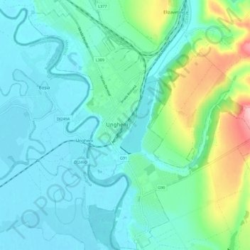
Name: Ungheni topographic map, elevation, terrain.
Location: Ungheni, Raionul Ungheni, Moldavie (47.16864 27.76030 47.24293 27.84819)
Average elevation: 67 m
Minimum elevation: 34 m
Maximum elevation: 196 m