
Washington topographic map
Interactive map
Click on the map to display elevation.
About this map
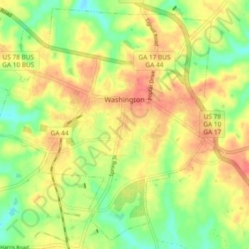
Name: Washington topographic map, elevation, terrain.
Location: Washington, Wilkes County, Georgia, USA (33.70567 -82.77914 33.75682 -82.71320)
Average elevation: 171 m
Minimum elevation: 140 m
Maximum elevation: 198 m