
Tar Heel topographic map
Interactive map
Click on the map to display elevation.
About this map
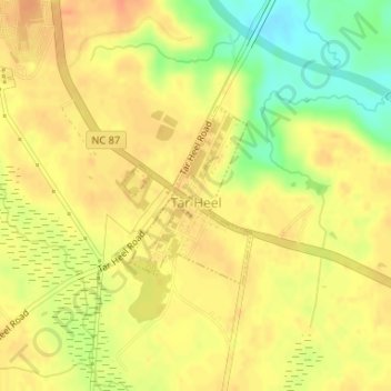
Name: Tar Heel topographic map, elevation, terrain.
Location: Tar Heel, Bladen County, North Carolina, United States (34.72752 -78.79663 34.73986 -78.78576)
Average elevation: 35 m
Minimum elevation: 8 m
Maximum elevation: 48 m