
Paupack Township topographic map
Interactive map
Click on the map to display elevation.
About this map
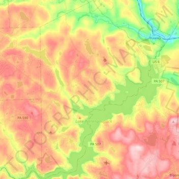
Name: Paupack Township topographic map, elevation, terrain.
Location: Paupack Township, Wayne County, Pennsylvania, USA (41.36742 -75.30014 41.50473 -75.18613)
Average elevation: 411 m
Minimum elevation: 263 m
Maximum elevation: 535 m