
Atakpamé topographic map
Interactive map
Click on the map to display elevation.
About this map
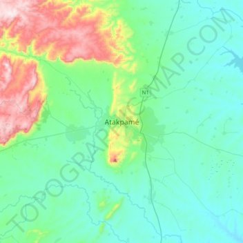
Name: Atakpamé topographic map, elevation, terrain.
Location: Atakpamé, Région des Plateaux, Togo (7.37206 0.96195 7.69206 1.28195)
Average elevation: 286 m
Minimum elevation: 131 m
Maximum elevation: 880 m