
Madaga topographic map
Interactive map
Click on the map to display elevation.
About this map
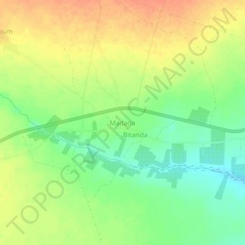
Name: Madaga topographic map, elevation, terrain.
Location: Madaga, Logone Occidental, Chad (8.56030 15.96423 8.60030 16.00423)
Average elevation: 429 m
Minimum elevation: 405 m
Maximum elevation: 450 m
Other topographic maps
Click on a map to view its topography, its elevation and its terrain.