
Kaula topographic map
Interactive map
Click on the map to display elevation.
About this map
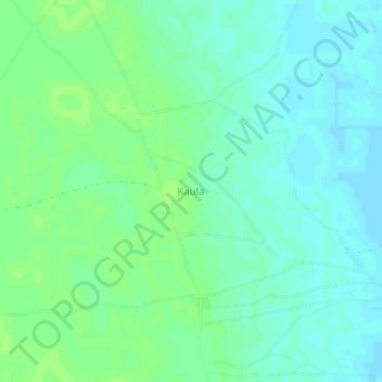
Name: Kaula topographic map, elevation, terrain.
Location: Kaula, Arege, Abadam, Borno State, Nigeria (13.47870 13.36647 13.51870 13.40647)
Average elevation: 284 m
Minimum elevation: 279 m
Maximum elevation: 288 m
Other topographic maps
Click on a map to view its topography, its elevation and its terrain.