Geolocate

Mat-i topographic map

Click on the map to display elevation.

About this map

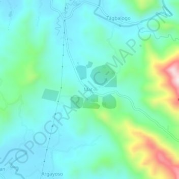
Name: Mat-i topographic map, elevation, terrain.

Location: Mat-i, Misamis Oriental, Northern Mindanao, 9024, Philippines (8.38073 124.31675 8.42073 124.35675)

Average elevation: 130 m

Minimum elevation: 17 m

Maximum elevation: 544 m

Other topographic maps

Click on a map to view its topography, its elevation and its terrain.

Alae River

Philippines > Misamis Oriental > Casinglot

Average elevation: 107 m

Ojot River

Philippines > Misamis Oriental > Impasugong

Average elevation: 896 m

Opol

Philippines > Misamis Oriental

Average elevation: 155 m

Gingoog

Philippines > Misamis Oriental

Average elevation: 448 m

Gear up for your next adventure:

🎒Backpack Rain Covers - Universal waterproof covers to protect your gear from downpours
🌄Compact Monoculars - Lightweight optics for hiking
👕Technical Hiking Tees - Moisture-management for high-exertion climbs
GPS Outdoor Watches - Watches with GPS tracking for hiking and exploration
🔋Solar Chargers - Eco-friendly charging solutions for outdoor use

As an Amazon Associate, this site earns from qualifying purchases at no extra cost to you.