
Pwllmeyric topographic map
Interactive map
Click on the map to display elevation.
About this map
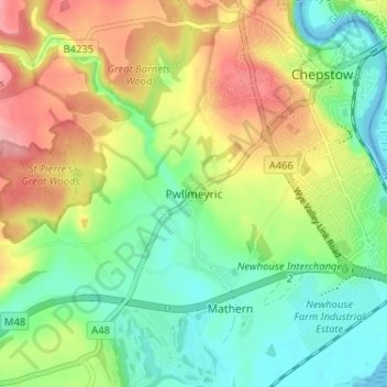
Name: Pwllmeyric topographic map, elevation, terrain.
Location: Pwllmeyric, Monmouthshire, Wales, NP16 6LE, United Kingdom (51.60854 -2.71808 51.64854 -2.67808)
Average elevation: 47 m
Minimum elevation: -13 m
Maximum elevation: 115 m
Monmouthshire trails, hiking, mountain biking, running and outdoor activities
Other topographic maps
Click on a map to view its topography, its elevation and its terrain.