Geolocate

Awash River topographic map

Click on the map to display elevation.

About this map

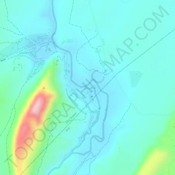
Name: Awash River topographic map, elevation, terrain.

Location: Awash River, Sodere, East Shewa, Oromia Region, Ethiopia (8.39783 39.39624 8.39823 39.39727)

Average elevation: 1,388 m

Minimum elevation: 1,341 m

Maximum elevation: 1,580 m

Gear up for your next adventure:

🧊Insulated Flasks - Keeps drinks hot or cold during hikes
👖Convertible Hiking Trousers - Versatile zip-off pants for changing mountain weather conditions
🚲Bikepacking Frame Bags - Storage for tools and navigation gear on long off-road rides
🧣Neck Gaiters - Protects against wind and sun on exposed ridges and peaks
🧷Tenacious Repair Tape - Instant fix for torn tents, jackets, or dry bags

As an Amazon Associate, this site earns from qualifying purchases at no extra cost to you.