
Nkolbikok topographic map
Interactive map
Click on the map to display elevation.
About this map
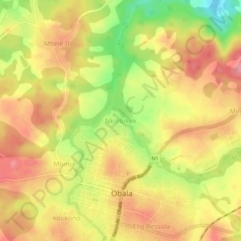
Name: Nkolbikok topographic map, elevation, terrain.
Location: Nkolbikok, Obala, Lekié, Région du Centre, Cameroun (4.15779 11.51449 4.19779 11.55449)
Average elevation: 534 m
Minimum elevation: 467 m
Maximum elevation: 577 m