
Karangan topographic map
Interactive map
Click on the map to display elevation.
About this map
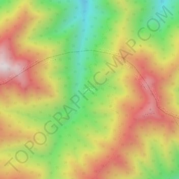
Name: Karangan topographic map, elevation, terrain.
Average elevation: 1,814 m
Minimum elevation: 1,249 m
Maximum elevation: 2,365 m
Other topographic maps
Click on a map to view its topography, its elevation and its terrain.
Varziqan
Iran > East Azerbaijan Province > Varzaqan County > دهستان ازومدل جنوبی
Average elevation: 1,714 m