
Trigás topographic map
Interactive map
Click on the map to display elevation.
About this map
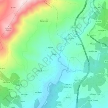
Name: Trigás topographic map, elevation, terrain.
Location: Trigás, Lobás, O Carballiño, Orense, Galicia, 32510, España (42.46828 -8.05900 42.50828 -8.01900)
Average elevation: 540 m
Minimum elevation: 396 m
Maximum elevation: 904 m