
Hradec topographic map
Interactive map
Click on the map to display elevation.
About this map
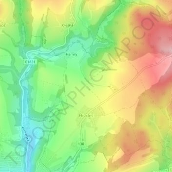
Name: Hradec topographic map, elevation, terrain.
Location: Hradec, okres Havlíčkův Brod, Kraj Vysočina, Czechia (49.69822 15.27956 49.72557 15.32132)
Average elevation: 449 m
Minimum elevation: 358 m
Maximum elevation: 554 m