
Lincoln topographic map
Interactive map
Click on the map to display elevation.
About this map
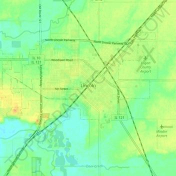
Name: Lincoln topographic map, elevation, terrain.
Location: Lincoln, Logan County, Illinois, 62656, United States (40.12652 -89.41652 40.16788 -89.33064)
Average elevation: 178 m
Minimum elevation: 164 m
Maximum elevation: 195 m
Other topographic maps
Click on a map to view its topography, its elevation and its terrain.