Geolocate

Joida topographic map

Interactive map

Click on the map to display elevation.

About this map

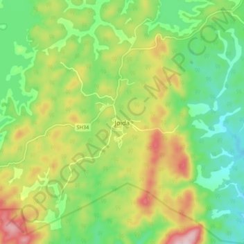
Name: Joida topographic map, elevation, terrain.

Location: Joida, Supa taluk, Uttara Kannada, Karnataka, India (15.12375 74.44723 15.20375 74.52723)

Average elevation: 587 m

Minimum elevation: 471 m

Maximum elevation: 769 m

Joida is located at 15°09′38″N 74°28′50″E / 15.160532°N 74.4804383°E / 15.160532; 74.4804383. It has an average elevation of 532 metres (1745.4), and is situated in the Western Ghats. Joida is covered by 87% of dense forest. It is located around 412.1 kilometer away from the state capital Bengaluru and 90 km from district capital Karwar. River Kali begins at a place near Joida called "Kushavali" and the river spread over 162 km in Joida and flows through all four dams (Supa, Bomnalli, Kodasalli and Kadra). Uttarakannada's highest hill called "Terali Betta" is in Joida its 1048 meter tall.