
Castellar topographic map
Interactive map
Click on the map to display elevation.
About this map
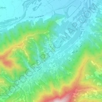
Name: Castellar topographic map, elevation, terrain.
Location: Castellar, Saluzzo, Cuneo, Piamonte, Italia (44.60123 7.41743 44.64123 7.45743)
Average elevation: 433 m
Minimum elevation: 307 m
Maximum elevation: 782 m