
Sewell topographic map
Interactive map
Click on the map to display elevation.
About this map
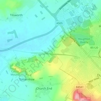
Name: Sewell topographic map, elevation, terrain.
Average elevation: 121 m
Minimum elevation: 90 m
Maximum elevation: 216 m
Central Bedfordshire trails, hiking, mountain biking, running and outdoor activities
Other topographic maps
Click on a map to view its topography, its elevation and its terrain.
Houghton Hall Park
United Kingdom > England > Central Bedfordshire > Houghton Regis
Average elevation: 134 m