
The Turf topographic map
Interactive map
Click on the map to display elevation.
About this map
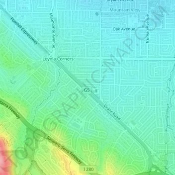
Name: The Turf topographic map, elevation, terrain.
Location: The Turf, Los Altos, Santa Clara County, Californië, VS (37.34733 -122.08091 37.34801 -122.08000)
Average elevation: 79 m
Minimum elevation: 52 m
Maximum elevation: 178 m