
Eemshaven topographic map
Interactive map
Click on the map to display elevation.
About this map
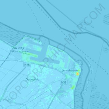
Name: Eemshaven topographic map, elevation, terrain.
Location: Eemshaven, Het Hogeland, Groningen, Netherlands (53.40783 6.78127 53.48941 6.91179)
Average elevation: 0 m
Minimum elevation: -5 m
Maximum elevation: 31 m
Other topographic maps
Click on a map to view its topography, its elevation and its terrain.