Geolocate

Earlville topographic map

Interactive map

Click on the map to display elevation.

About this map

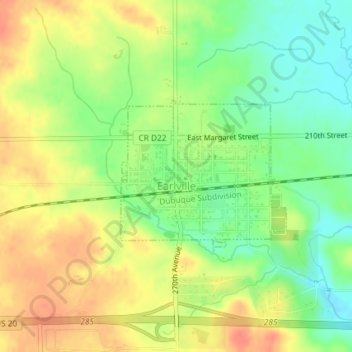
Name: Earlville topographic map, elevation, terrain.

Location: Earlville, Delaware County, Iowa, United States (42.47653 -91.27817 42.48816 -91.26091)

Average elevation: 310 m

Minimum elevation: 284 m

Maximum elevation: 333 m

Other topographic maps

Click on a map to view its topography, its elevation and its terrain.

Masonville

United States > Iowa > Delaware County

Masonville, Delaware County, Iowa, United States

Average elevation: 309 m

Delaware

United States > Iowa > Delaware County > Delaware

Delaware, Delaware County, Iowa, 52036, United States

Average elevation: 322 m