
Harbrinkhoek topographic map
Interactive map
Click on the map to display elevation.
About this map
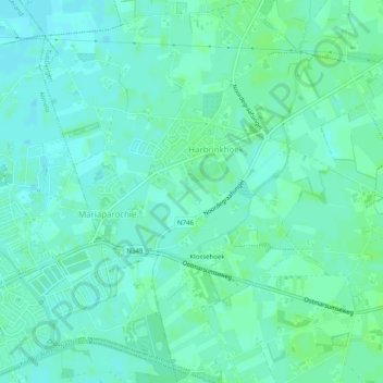
Name: Harbrinkhoek topographic map, elevation, terrain.
Location: Harbrinkhoek, Tubbergen, Overijssel, Netherlands (52.36595 6.69788 52.39652 6.74334)
Average elevation: 13 m
Minimum elevation: 9 m
Maximum elevation: 18 m
Other topographic maps
Click on a map to view its topography, its elevation and its terrain.