
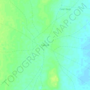
Galcad topographic map
Interactive map
Click on the map to display elevation.
About this map
Name: Galcad topographic map, elevation, terrain.
Location: Galcad, El Dher District, Galgaduud, Galmudug, Somalia (4.00338 46.59768 4.04338 46.63768)
Average elevation: 116 m
Minimum elevation: 109 m
Maximum elevation: 123 m