
Lac-Caché topographic map
Interactive map
Click on the map to display elevation.
About this map
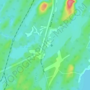
Name: Lac-Caché topographic map, elevation, terrain.
Average elevation: 389 m
Minimum elevation: 372 m
Maximum elevation: 452 m
Other topographic maps
Click on a map to view its topography, its elevation and its terrain.
Île de l'Amiante
Canada > Québec > Jamésie > Chibougamau
Île de l'Amiante, Chibougamau, Jamésie, Nord-du-Québec, Québec, Canada
Average elevation: 415 m