
Phường Chương Dương topographic map
Interactive map
Click on the map to display elevation.
About this map
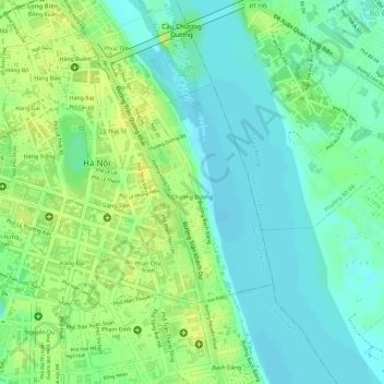
Name: Phường Chương Dương topographic map, elevation, terrain.
Location: Phường Chương Dương, Hoan Kiem District, Hà Nội, Vietnam (21.01853 105.85577 21.03388 105.86733)
Average elevation: 13 m
Minimum elevation: 2 m
Maximum elevation: 24 m
Other topographic maps
Click on a map to view its topography, its elevation and its terrain.