
Magna Carta Island topographic map
Interactive map
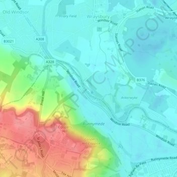
Click on the map to display elevation.
About this map
Name: Magna Carta Island topographic map, elevation, terrain.
Average elevation: 32 m
Minimum elevation: 10 m
Maximum elevation: 90 m
Routes: Royal Borough of Windsor and Maidenhead GPS tracks, routes, trails, hikes