
Romont FR topographic map
Interactive map
Click on the map to display elevation.
About this map
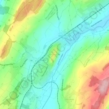
Name: Romont FR topographic map, elevation, terrain.
Location: Romont FR, Romont (FR), Glanebezirk, Freiburg, 1680, Schweiz (46.67483 6.89833 46.71483 6.93833)
Average elevation: 744 m
Minimum elevation: 683 m
Maximum elevation: 861 m