
St. Peter - San Pietro topographic map
Interactive map
Click on the map to display elevation.
About this map
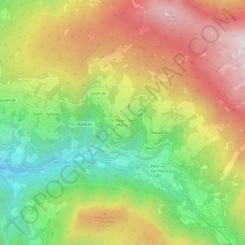
Name: St. Peter - San Pietro topographic map, elevation, terrain.
Average elevation: 1,314 m
Minimum elevation: 721 m
Maximum elevation: 1,960 m