
Botyre topographic map
Interactive map
Click on the map to display elevation.
About this map
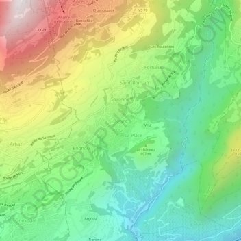
Name: Botyre topographic map, elevation, terrain.
Location: Botyre, Ayent, Ering, Wallis, 1966, Schweiz (46.25724 7.38859 46.29724 7.42859)
Average elevation: 1,014 m
Minimum elevation: 501 m
Maximum elevation: 1,861 m
Other topographic maps
Click on a map to view its topography, its elevation and its terrain.