
Eemland topographic map
Interactive map
Click on the map to display elevation.
About this map
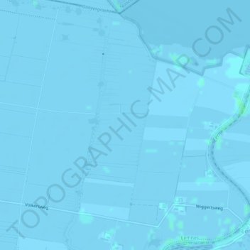
Name: Eemland topographic map, elevation, terrain.
Location: Eemland, Eemnes, Utrecht, Nederland, 3755 PL, Nederland (52.25523 5.29674 52.27523 5.31674)
Average elevation: -1 m
Minimum elevation: -3 m
Maximum elevation: 3 m
Other topographic maps
Click on a map to view its topography, its elevation and its terrain.