
Ferkla El Oulia topographic map
Interactive map
Click on the map to display elevation.
About this map
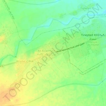
Name: Ferkla El Oulia topographic map, elevation, terrain.
Average elevation: 1,006 m
Minimum elevation: 990 m
Maximum elevation: 1,020 m
Other topographic maps
Click on a map to view its topography, its elevation and its terrain.
Ait Mhamed
Maroc > Cercle de Goulmima > Ferkla El Oulia > Ait Mhamed
Ait Mhamed, Ferkla El Oulia, caïdat de Ferkla, Cercle de Goulmima, Province d'Errachidia, Drâa-Tafilalet, Maroc
Average elevation: 1,028 m