
Keys topographic map
Interactive map
Click on the map to display elevation.
About this map
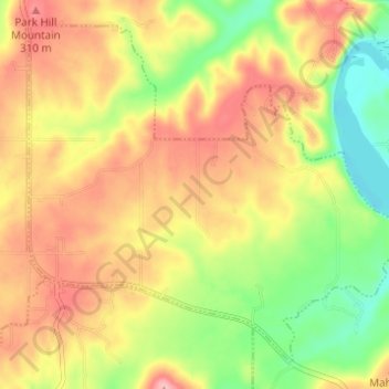
Name: Keys topographic map, elevation, terrain.
Location: Keys, Cherokee County, Oklahoma, États-Unis d'Amérique (35.78416 -94.96761 35.82730 -94.90628)
Average elevation: 261 m
Minimum elevation: 189 m
Maximum elevation: 326 m