
Pangare topographic map
Interactive map
Click on the map to display elevation.
About this map
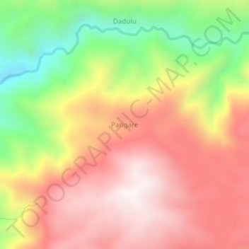
Name: Pangare topographic map, elevation, terrain.
Location: Pangare, Donggala Regency, Central Sulawesi, Indonesia (-1.25333 119.64667 -1.21333 119.68667)
Average elevation: 983 m
Minimum elevation: 444 m
Maximum elevation: 1,399 m
Other topographic maps
Click on a map to view its topography, its elevation and its terrain.