
Freiberg topographic map
Interactive map
Click on the map to display elevation.
About this map
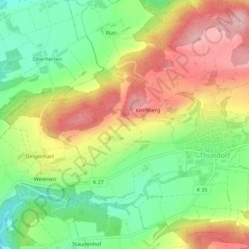
Name: Freiberg topographic map, elevation, terrain.
Location: Freiberg, Thundorf, Bezirk Frauenfeld, Thurgau, 8512, Schweiz (47.54860 8.94819 47.54910 8.94997)
Average elevation: 576 m
Minimum elevation: 496 m
Maximum elevation: 665 m