
郑州植物园 topographic map
Interactive map
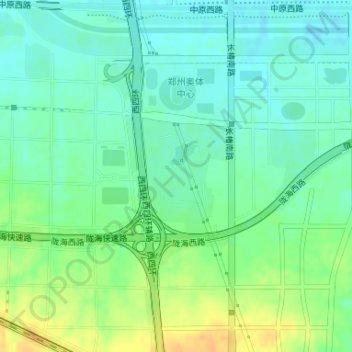
Click on the map to display elevation.
About this map
Name: 郑州植物园 topographic map, elevation, terrain.
Location: 郑州植物园, 中原区, 郑州市, 河南省, 中国 (34.73131 113.52658 34.74015 113.53463)
Average elevation: 139 m
Minimum elevation: 127 m
Maximum elevation: 158 m
Other topographic maps
Click on a map to view its topography, its elevation and its terrain.