
Arandun topographic map
Interactive map
Click on the map to display elevation.
About this map
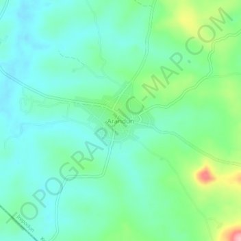
Name: Arandun topographic map, elevation, terrain.
Location: Arandun, Irepodun, Kwara State, Nigeria (8.07303 4.92812 8.11303 4.96812)
Average elevation: 467 m
Minimum elevation: 429 m
Maximum elevation: 579 m