
Thank you for supporting this site ❤️
Make a donation
Make a donation
Gear up for your next adventure:
As an Amazon Associate, this site earns from qualifying purchases at no extra cost to you.
Voltigno topographic map
Click on the map to display elevation.
Thank you for supporting this site ❤️
Make a donation
Make a donation
Gear up for your next adventure:
As an Amazon Associate, this site earns from qualifying purchases at no extra cost to you.
About this map
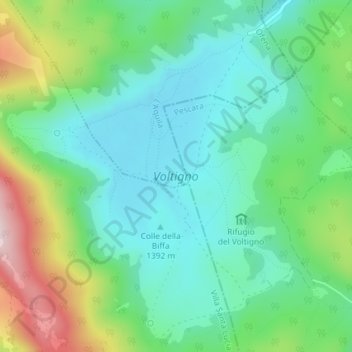
Name: Voltigno topographic map, elevation, terrain.
Location: Voltigno, Ofena, L'Aquila, Abruzzo, Italia (42.34856 13.78372 42.37432 13.81348)
Average elevation: 1,470 m
Minimum elevation: 1,355 m
Maximum elevation: 1,749 m
Thank you for supporting this site ❤️
Make a donation
Make a donation
Gear up for your next adventure:
As an Amazon Associate, this site earns from qualifying purchases at no extra cost to you.