
Phum Teuk Thla topographic map
Interactive map
Click on the map to display elevation.
About this map
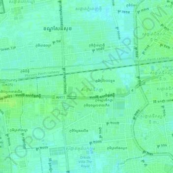
Name: Phum Teuk Thla topographic map, elevation, terrain.
Location: Phum Teuk Thla, Khan Sen Sok, Phnom Penh, 120802, Cambodia (11.54526 104.85609 11.58526 104.89609)
Average elevation: 12 m
Minimum elevation: 7 m
Maximum elevation: 16 m