
Ward 5 topographic map
Interactive map
Click on the map to display elevation.
About this map
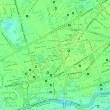
Name: Ward 5 topographic map, elevation, terrain.
Location: Ward 5, Chợ Lớn, Ho Chi Minh City, 848, Vietnam (10.75927 106.66471 10.76378 106.66888)
Average elevation: 9 m
Minimum elevation: 0 m
Maximum elevation: 12 m
Other topographic maps
Click on a map to view its topography, its elevation and its terrain.