
North Dagon topographic map
Interactive map
Click on the map to display elevation.
About this map
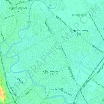
Name: North Dagon topographic map, elevation, terrain.
Location: North Dagon, Yangon East, Yangon, Myanmar (16.84972 96.15837 16.92318 96.22511)
Average elevation: 7 m
Minimum elevation: -1 m
Maximum elevation: 35 m
Other topographic maps
Click on a map to view its topography, its elevation and its terrain.