
Wittelte topographic map
Interactive map
Click on the map to display elevation.
About this map
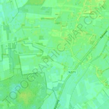
Name: Wittelte topographic map, elevation, terrain.
Location: Wittelte, Westerveld, Drenthe, Nederland (52.81206 6.27029 52.84148 6.33272)
Average elevation: 7 m
Minimum elevation: 1 m
Maximum elevation: 12 m